Reconstruct Coastlines
Reconstruct Coastlines
Description:
HTTP GET request to retrieve reconstructed coastline polygons
Endpoint:
https://gws.gplates.org/reconstruct/coastlines/
Parameters:
time : geologic time(Ma) [required]
model : the reconstruction model name (if not specified, will use the default model)
fmt : if set this parameter to "png", this function will return a png image
anchor_plate_id : integer value for reconstruction anchor plate id [default=0]
facecolor : such as "black", "blue", etc
edgecolor : such as "black", "blue", etc
alpha : such as 1, 0.5, etc
extent : such as extent=-180,180,-90,90
central_meridian : central meridian -- useful when wrap to dateline and plot png map
wrap : flag to indicate if wrap the coastlines along dateline, true or false
Return:
GeoJSON/PNG data containing reconstructed coastline features
Examples:
🟢 E1: Reconstruct the coastlines back to 140Ma using ZAHIROVIC2022 model.
Click this link to try this example in a web browser.
Alternatively, use curl command.
curl "https://gws.gplates.org/reconstruct/coastlines/?&time=140&model=ZAHIROVIC2022"
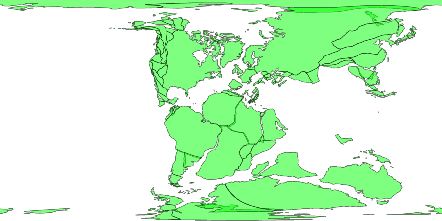
🟢 E2: Return a PNG map for the whole world
Click this link to try this example in a web browser.
Alternatively, use curl command.
curl --output coastlines.png "https://gws.gplates.org/reconstruct/coastlines/?&time=140&model=ZAHIROVIC2022&fmt=png&facecolor=lime&edgecolor=black&alpha=0.5"
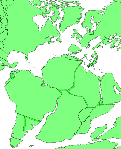
🟢 E3: Return a PNG map within an extent
Click this link to try this example in a web browser.
Alternatively, use curl command.
curl --output coastlines.png "https://gws.gplates.org/reconstruct/coastlines/?&time=140&model=ZAHIROVIC2022&fmt=png&facecolor=lime&edgecolor=black&alpha=0.5&extent=-50,50,-50,50"

