Use GWS with Paleobiology Database
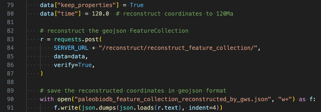
The Python code in paleobiodb.py demonstrates how the GWS can be used to get the paleo-coordinates for the data from http://paleobiodb.org/.
 clicking the screenshot above will take you to the full source code of this example at https://github.com/GPlates/gplates-web-service/blob/master/examples/paleobiodb.py
The steps in the workflow:
- step 1: get 10 unique coordinates from http://paleobiodb.org/ (for demonstration purpose only)
- step 2: build a geojson feature collection from the data in step 1
- step 3: send the geojson feature collection to GWS
- step 4: the GWS returns a new geojson feature collection with the paleo-coordinates
- step 5: save the the present-day coordinates and paleo-coordinates to .json files
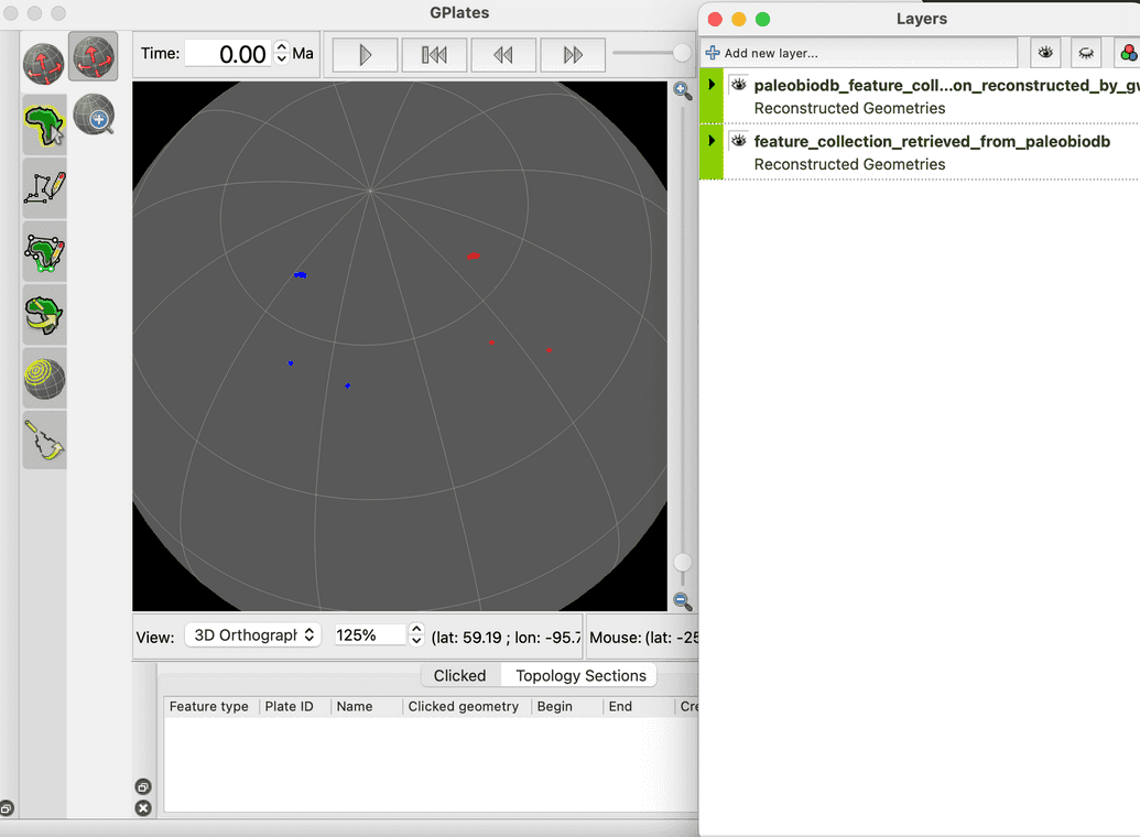
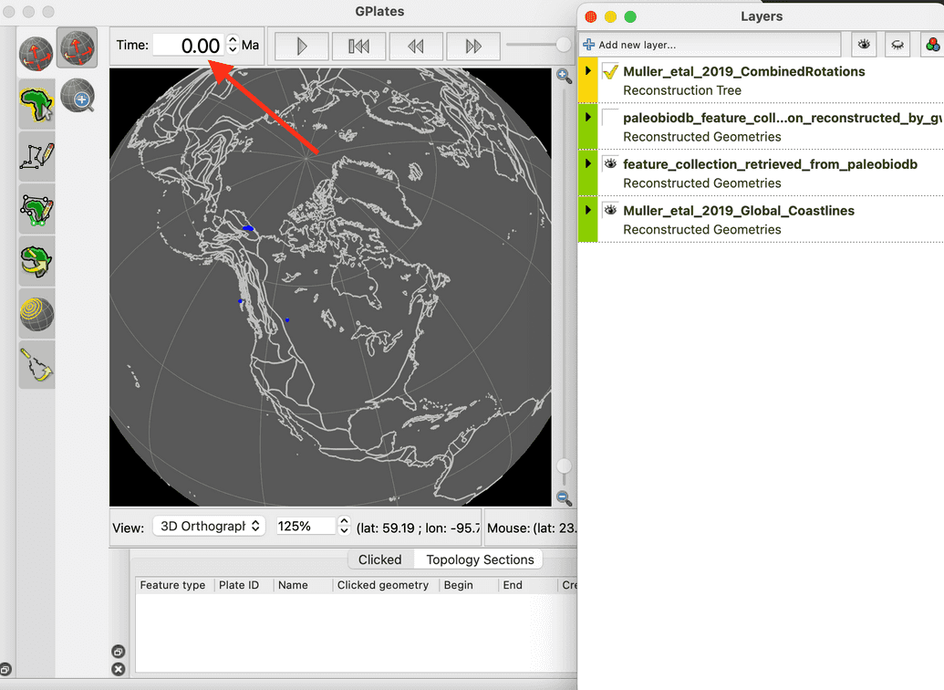
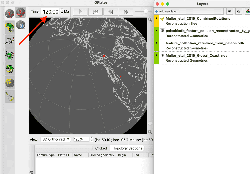
- step 6: check the coordinates in GPlates desktop software
 Fig 1. the figure shows the present-day coordinates in Blue and paleo-coordinates at 120Ma in Red.
 Fig 2. the figure shows the present-day coordinates along with the present-day coastlines.
 Fig 3. the figure shows the paleo-coordinates at 120Ma along with the paleo-coastlines.