GPlates Web Service
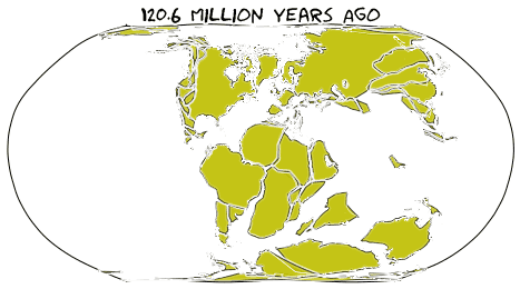
The GPlates Web Service is a key component of the ongoing GPlates project, funded by AuScope. Built on the powerful plate tectonics reconstruction engine PyGPlates, this service allows users to access the full functionality of PyGPlates via Internet/HTTP protocol. By providing remote access to the latest plate tectonics reconstruction models in the Cloud, the GPlates Web Service makes these advanced plate tectonics reconstruction tools more accessible to a wider audience. Users can simply send HTTP requests to the GWS server, which processes the requests and returns the corresponding results. Using HTTP protocol allows access to PyGPlates functionalities in various programming languages and across different operating systems.
We provide Docker images to help users easily set up their own GWS servers. This allows deployment on personal computers or institutional servers for improved performance and data security. Detailed instructions for on-premises hosting are available on the On-Prem Hosting page.
The GPlates Web Service is created and maintained by EarthByte research group at The University of Sydney.
The main server is provided by NCI under the AuScope scheme.
Getting Started
If you prefer writing programs in Python, you may want to check out the GPlates Web Service Python wrapper. The convenient Python client enables Python programmers to access the GPlates Web Service more easily. Instead of dealing with HTTP requests directly, the Python wrapper allows users to access the service with Python function calls.
If you prefer other programming languages, the best starting point is the examples.
Demos with D3.js Maps
These web pages demonstrate how the GPlates Web Service can be used with JavaScript to develop web applications.
EarthByte Group
EarthByte research group is an internationally leading eGeoscience collaboration between several Australian Universities, international centres of excellence and industry partners. One of the fundamental aims of the EarthByte Group is geodata synthesis through space and time, assimilating the wealth of disparate geological and geophysical data into a four-dimensional Earth model including tectonics, geodynamics and surface processes. The EarthByte Group is pursuing open innovation via collaborative software development, high-performance and distributed computing, “big data” analysis and by making open access digital data collections available to the community.
Contact Us
You can find the EarthByte research group's contact information on the Contact page.
Acknowledgement
This website is built upon gatsby-gitbook-starter. We thank https://www.gatsbyjs.com/ and https://hasura.io/.
