Reconstruction Tree Map
Reconstruction Tree Map
http GET request to retrieve a geographical representation of a reconstruction hierarchy
Endpoint:
https://gws.gplates.org/rotation/reconstruction_tree_map
Parameters:
time : time for reconstruction tree [required]
model : name for reconstruction model [defaults to default model from web service settings]
Returns:
json containing reconstructed feature collection with a geometry representing the rotation hierarchy in a geographical arrangement
Examples:
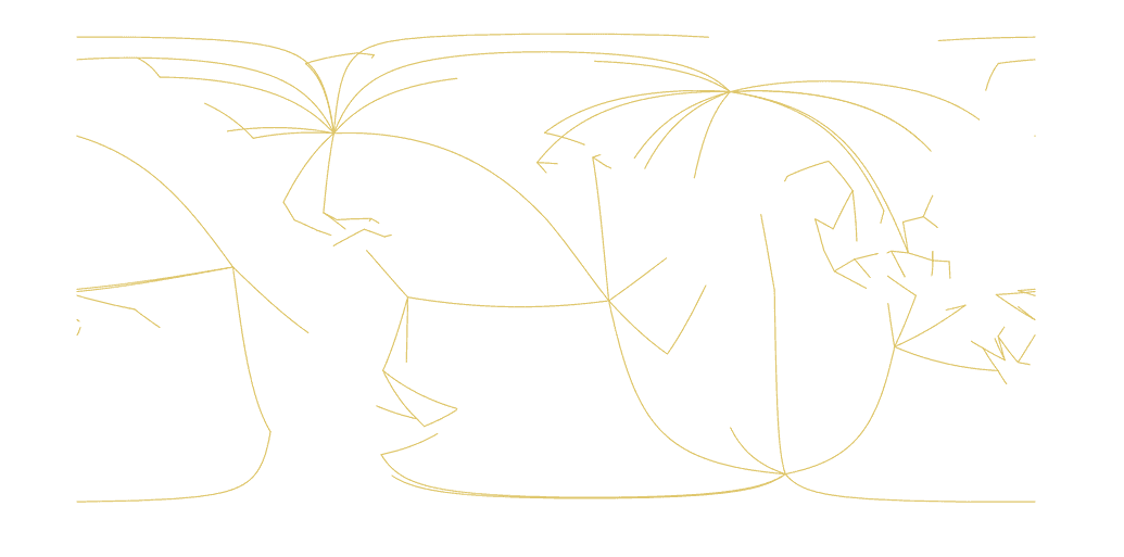
🟢 E1: get the reconstruction tree map at 100Ma
https://gws.gplates.org/rotation/reconstruction_tree_map?time=100
If we plot the returned GeoJSON file in QGIS, the map look like this. Each line represent an "edge" of the reconstruction tree with one vertex is the "moving plate id" and the other vertex is the "fixed plate id".
